Hidenori Watanave Laboratory @ Tokyo Metropolitan University uploaded 3200 Photographs with GPS of Tuvalu as the first of the result of a joint research with NPO Tuvalu OverView. It can be viewed with Google Earth.
* KML for Google Earth
* Web album (Sky of Tuvalu)
* Web album (Eye-level #1)
* Web album (Eye-level #2)
* Web album (Eye-level #3)
[img]http://labo.wtnv.jp/uploaded_images/WS000008-774545.JPG[/img]
[img]http://labo.wtnv.jp/uploaded_images/WS000000-755492.JPG[/img]
These photographs can be freely used for a non-profit-making purpose. Please contact us when you want to use it for profit.
This is a draft version, and the file only of the export from Picasa. We plan to produce the PhotoOverlay version. Moreover, it is expected that this is a problem of DB on the Google side though GPS information and the satellite image shift. We will fix it soon.
Photographs by:
Hidenori Watanave Laboratory @ Tokyo Metropolitan University
(Makiko Suzuki, Hidenori Watanave)
Supported by:
Tuvalu OverView and Photon,Inc.
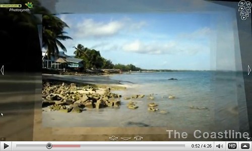
and also, we are making 3D photograph oriented space of Tuvalu by using Virtual Worlds. Experimental version that uses Microsoft Photosynth are open to the public.
[img]http://farm3.static.flickr.com/2534/3779766958_18c4928388.jpg[/img]
contact us:
hwtnv_at_sd.tmu.ac.jp
Tuvalu GPS Mapping
-
Type: event
- Location: TV
- Starts: Aug 1 2009 at 12:00AM
- outbound link ↱